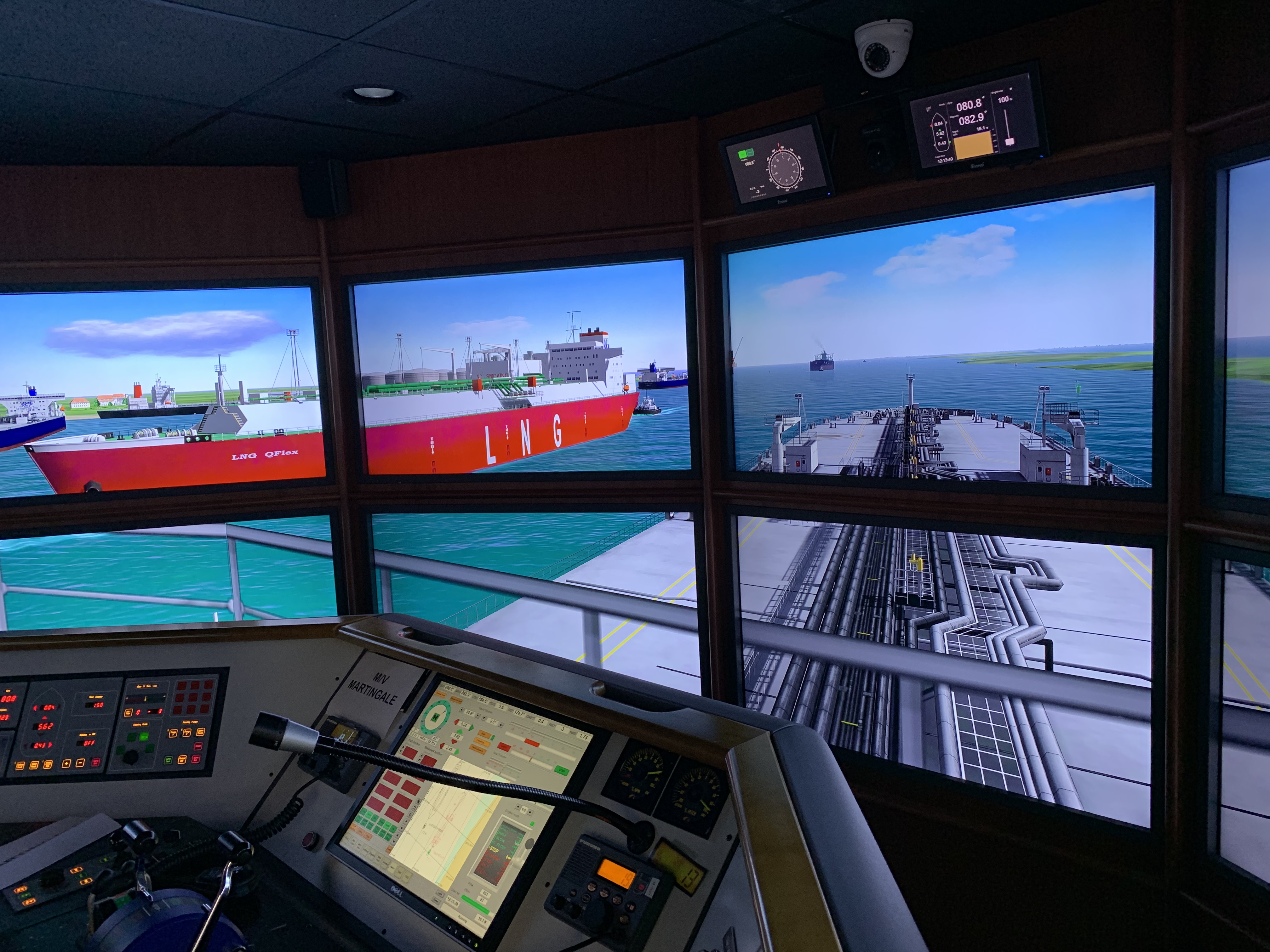
Custom Simulation & Research
Request for Quotation
To assist you in defining your simulation research project and to gather the necessary data, please click through the tabs below. Please note that there are many additional steps required; however, this should provide you with a baseline of the information we will ask you to provide.
- Summary Project Description
- Timeline
- Purpose and Objectives
- Simulated Geographic Area
- Provide Ship and Tug Model information required for project
- Maritime Pilot / Tug Master Support
- Marketing Video
Please include stakeholders, geographic location, and project summary.
When are the results needed? You should factor a minimum of 60 days from the contract signing to the Final Report.
What is the client intending to accomplish? What is the intent and expected outcome of the project? Examples:
- Determine maximum size vessel capable of calling at the terminal.
- Maximize the safety and efficiency of berth(s) / terminal configuration from a shiphandling perspective.
- Assess the suitability of two-way traffic in restricted channels, and under what environmental conditions.
- Minimize dredging requirements for channels and turning basins.
- Establish the environmental operational limits for the safe transit of the vessel(s) in different load conditions.
- Recommend the number, type and power of tugs needed to escort / berth vessels under X conditions
- Assess the ability to recover for expected emergencies such as loss of propulsion, etc.
- Recommend placement of navigational aids.
- Develop standard operations procedures for the pilots and tug masters.
- Train pilots and tug master in integrated simulation exercises.
The following information may be required:
- AutoCAD drawings of the new terminal, turning basin(s), and channels (referenced to WGS84 datum if possible).
- Large scale charts, Sailing Directions / Coast Pilots, List of Lights / Light List, Tide / Current Tables (all needed to adjust the programmed visual aids).
- Concept drawings and pictures of the terminal, turning basin, and channels.
- Navigation aids locations and structures.
- Channel design(s) (width, depths, slope of banks, toe line, shoals, etc.)
- Reference used for channel depths.
- Local current and tide information. If the current impact is significant, we recommend programming a detailed two-dimensional, depth average model representing various stages (max flood/ebb, 2/3 max, 1/3 max). This will require detailed measurements from the government or private hydrographic entities. If the data is not available, MITAGS can arrange a partner company to collect.
MITAGS has an extensive library of visual areas and modify existing areas to save costs.
MITAGS has an extensive library of vetted ship models and we will do our best to utilize one of our library models for the project. If MITAGS does not have a model that is acceptable to the client, we will require the client to complete our Vessel Model Math Validation Workbook.
Most research projects require expert Pilot and/or Tug Master support. You will want to reach out to these entities to ensure that they will be involved in the project. These entities can be contracted directly by the Client or MITAGS.
If you require a professional video animation of the project please provide that information at the start of the project.

